
| Pinners Point Interchange Construction Photos - March & May 2004 |
Here are 5 photos of the Pinners Point Interchange (Port Norfolk Connector) project under construction, taken in March and May of 2004. Click the thumbnail photo for a larger photo (they range in size from 96 to 118 kilobytes, with most being less than 111 kilobytes).
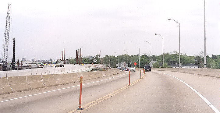 |
VA-164 West Norfolk Bridge, heading eastward toward the east end of the bridge. The Port Norfolk Connector bridge construction is under way to the left. The 4-lane West Norfolk Bridge has been temporarily restricted to 2-lane 2-way traffic so that the westbound 2 lanes can be connected into the new bridge. The eastern 1,200 feet of the 3,630-foot-long West Norfolk Bridge is being reconstructed and realigned slightly northward so that it will make a seamless freeway connection with the new Port Norfolk Connector bridge. Photo taken on March 27, 2004. |
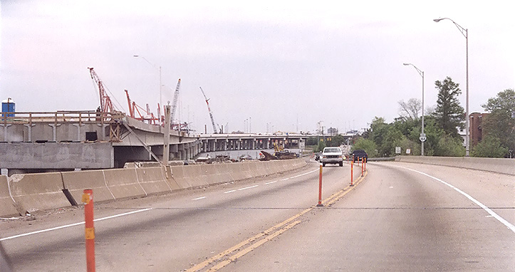 |
VA-164 West Norfolk Bridge, heading eastward toward the east end of the bridge, a couple hundred yards after the previous photo position. The Port Norfolk Connector bridge construction is under way to the left. Photo taken on March 27, 2004. |
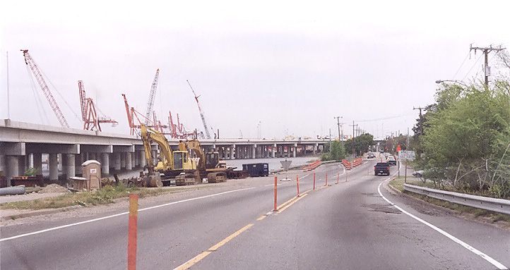 |
Bayview Boulevard, heading eastward, a couple hundred yards after the previous photo position, just beyond the end of the VA-164 West Norfolk Bridge. This section of Bayview Boulevard was 4 lanes, and was reduced to 2 lanes during the construction. The Port Norfolk Connector bridge construction is under way to the left, in the Elizabeth River. Photo taken on March 27, 2004. |
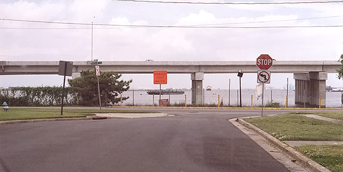 |
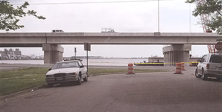
Looking north, from Broad Street with its intersection with Bayview Boulevard in the Port Norfolk neighborhood just ahead, and the Elizabeth River and Port Norfolk Connector bridge construction beyond. Most of the river view still exists between the bridge piers and the bridge superstructure, and the freeway roadway is 33 feet above river mean high water level. The view out into the river is mainly that of an industrial harbor. Photo taken on May 1, 2004. |
 |
Looking north, from Maryland Avenue with its intersection with Bayview Boulevard in the Port Norfolk neighborhood just ahead, and the Elizabeth River and Port Norfolk Connector bridge construction beyond. This is one block to the east of the previous photo position, and the bridge is about 400 feet offshore at this point. Photo taken on May 1, 2004. |
Lead article Parallel Midtown Tunnel / Pinners Point Interchange / Martin Luther King Freeway Extension
All photos taken by Scott Kozel.
Copyright © 2005 by Scott Kozel. All rights reserved. Reproduction, reuse, or distribution without permission is prohibited.
By Scott M. Kozel, Roads to the Future
(Content created on 6-1-2004, moved to separate article on 3-1-2005)