Chesapeake Bay Bridge Photos - November 2005

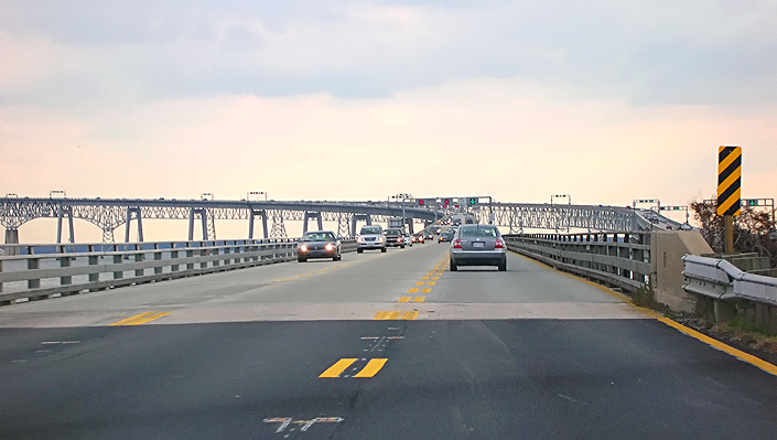
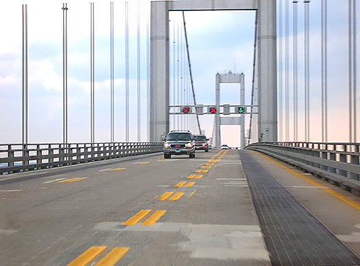
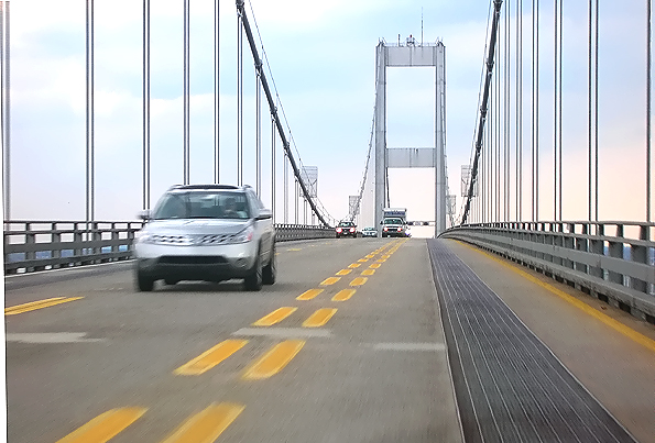
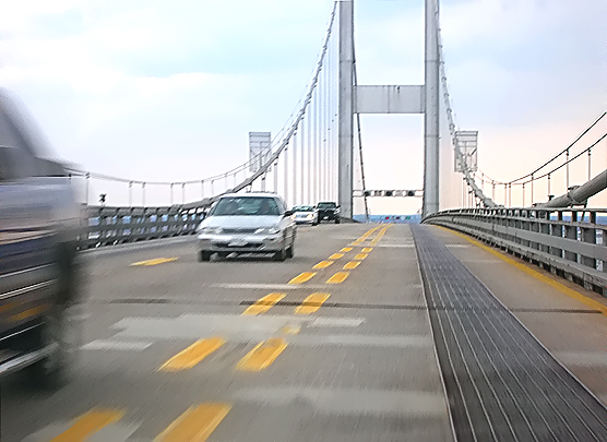
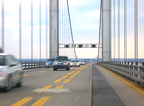
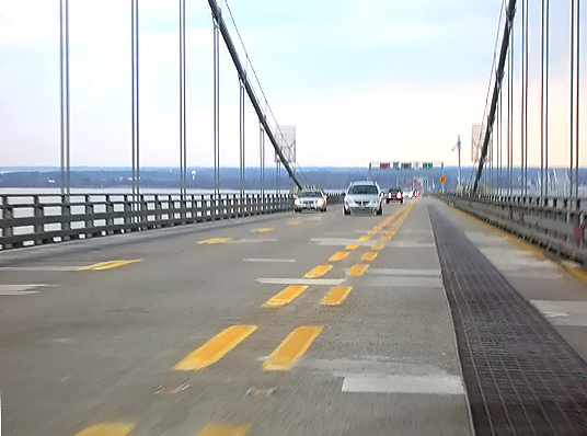
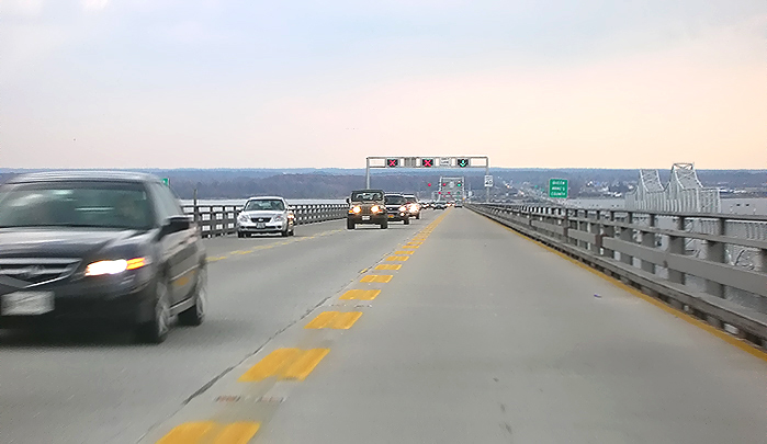
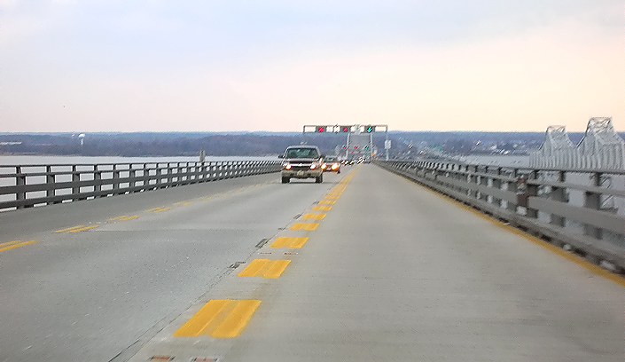
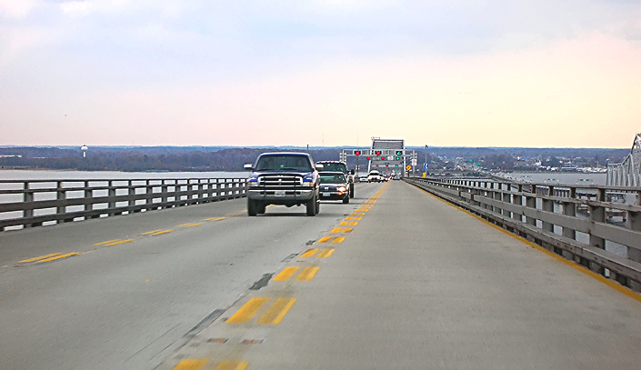
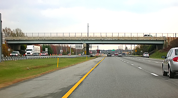
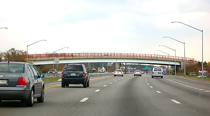
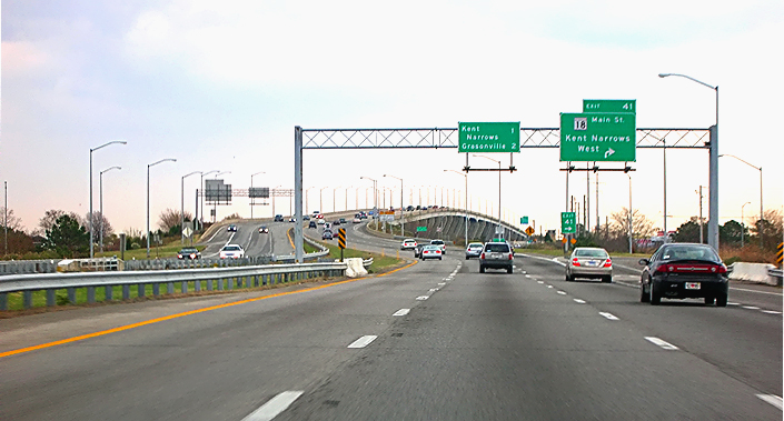
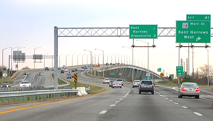
Here are 40 photos, taken on November 24, 2005, in sequence, of a ride across the Chesapeake Bay Bridge, traveling eastbound on the reversed inner lane of the westbound bridge. This photo sequence includes the US-50/US-301 approaches from 3 miles before the Bay Bridge to 5 miles after the Bay Bridge.

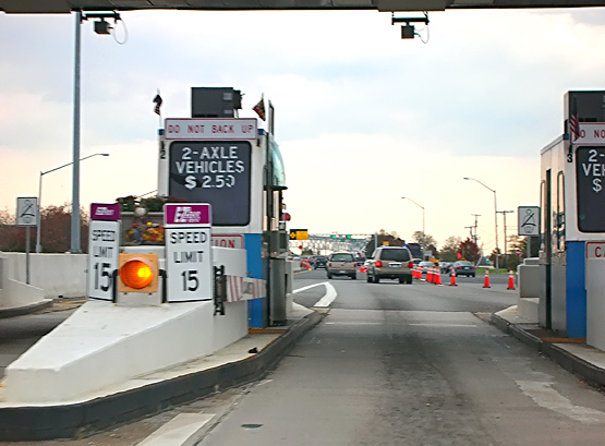
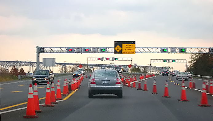
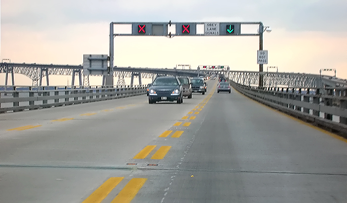
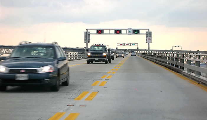
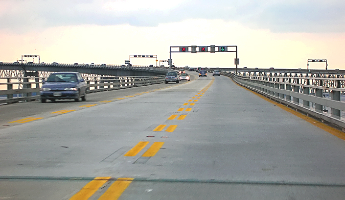
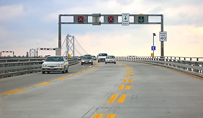
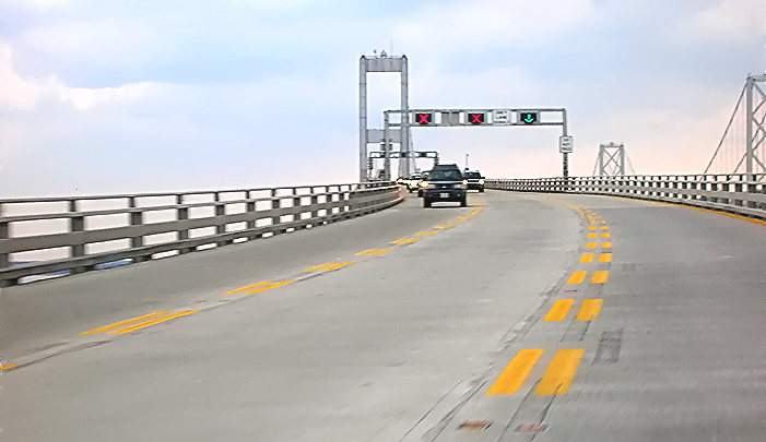
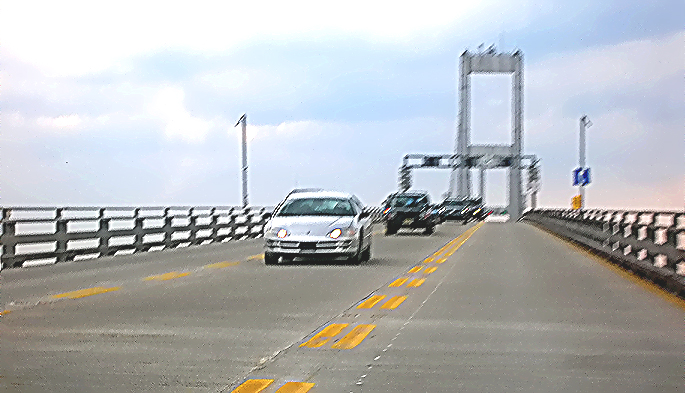
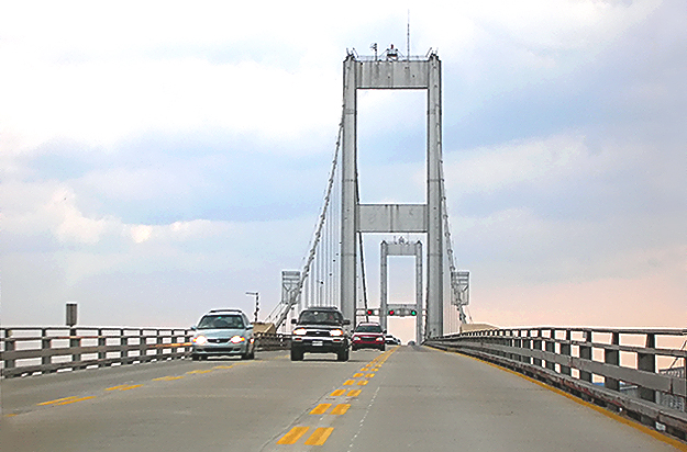
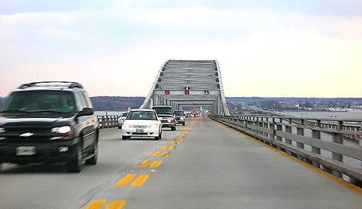
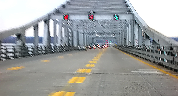
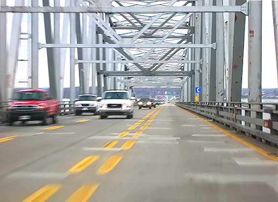
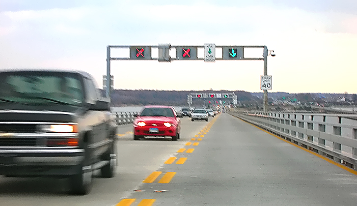
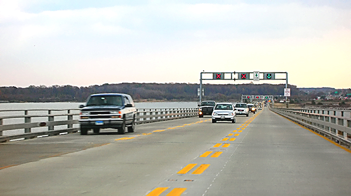
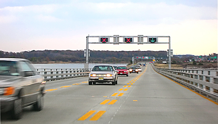
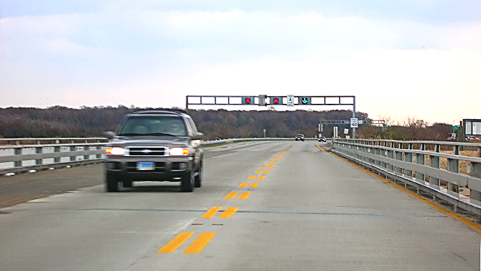
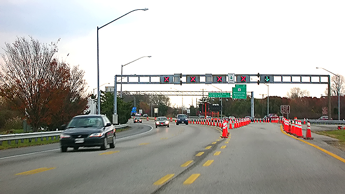
The eastbound Chesapeake Bay Bridge opened in 1952 and has 2 lanes, and the westbound Bay Bridge opened in 1973 and has 3 lanes. All lanes are reversible via overhead lane control signals. Normally the eastbound bridge carries all its lanes eastbound and the westbound bridge carries all its lanes westbound. In times of heavy peak eastbound traffic, it is common to reverse the inner lane of the westbound bridge so that there is one eastbound lane on that bridge in addition to the two eastbound lanes on the eastbound bridge, for a total of 3 eastbound lanes; and the westbound bridge carries 2 lanes of westbound traffic on its middle and outer lanes. US-50 is a 6-lane (3 each way) freeway between the I-95/I-495 Capital Beltway and the US-50/US-301 split near Queenstown on the Eastern Shore, except for the 5-lane twin-span Bay Bridge. The normal configuration of 3 lanes on the westbound bridge matches the 3 westbound lanes on the US-50 freeway. When one lane is reversed on the westbound bridge there are a total of 3 eastbound lanes, which matches the 3 eastbound lanes on the US-50 freeway. Therefore, at peak traffic periods which tend to be peak in one direction only, the number of lanes on the bridge can be configured to match the number of lanes on the freeway approaches, and still have 2 lanes in the direction with the lower level of traffic. It is possible to configure 4 lanes in the direction of peak traffic, but the resulting single lane in the opposite direction would be severely congested as a result. It is also possible to close one bridge entirely for maintenance or in case of a serious accident, and to run two-way traffic on the other bridge, which on the eastbound bridge would be one lane each way, and which on the westbound bridge would be two lanes in the peak direction and one lane in the opposite direction.

Actually the one-direction traffic capacity of the Bay Bridge is substantially less than what a modern 6-lane (3 each way) freeway can provide. A freeway with 12-foot-wide lanes and full emergency shoulders and an adequate alignment can carry up to about 2,000 vehicles per lane per hour, while the Bay Bridge's maximum capacity is about 1,500 vehicles per lane per hour, due to fact that while the lanes are 12 feet wide, there are minimal shoulders 
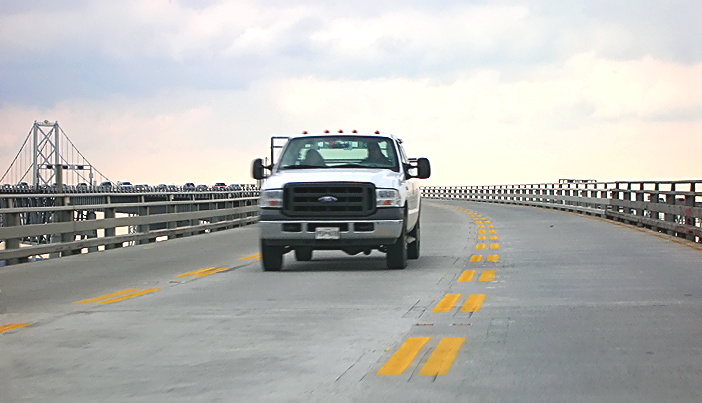
(one foot and seven inches or 1'7" on each side of the 2-lane eastbound bridge's roadway, and one foot on each side of the 3-lane westbound bridge's roadway), and the 
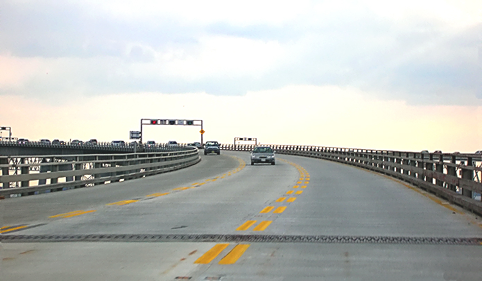
long curve in the westbound bridge about a mile from the western shore, in conjunction with the minimal shoulders, under heavy traffic often slows vehicles leading to reduced capacity. See Bay Bridge History, on the Maryland Transportation Authority (MdTA) report Task Force on Traffic Capacity Across the Chesapeake Bay. Excerpt (in blue text):
The three lanes of US 50 leading to the bridge, in each direction, can carry about 6,000 cars per hour, significantly in excess of the roughly 4,500 maximum one-way capacity of the bridge.

That "roughly 4,500 maximum one-way capacity of the bridge" is based on operating 3 lanes in the direction of peak traffic. Operating 4 lanes in one direction would provide about the same 6,000 vehicles per hour capacity that each 3-lane US-50 freeway approach roadway provides, and the lane control signal system could accommodate that operational format, but that format is considered infeasible due to the fact that the opposing direction normally still has enough traffic that having only one lane open would result in gridlock for that direction.

The reversed inner lane of the westbound bridge has a 40-mph speed limit and passing is not allowed. The speed limit is 50 mph for the normal lanes on the two bridges.

All photos were taken with a 2.2x telephoto lens, at about 6:00 PM.

US-50/US-301 eastbound, approaching Cape St. Claire Road overpass and interchange, 3 miles from the Bay Bridge.

US-50 is a 6-lane (3 each way) freeway between the I-95/I-495 Capital Beltway and the Bay Bridge.


US-50/US-301 eastbound, approaching Whitehall Road interchange, 2 miles from the Bay Bridge. Thanksgiving day traffic is backed up approaching the Bay Bridge, about 6:00 PM. Notice the overhead sign with toll information.


US-50/US-301 eastbound, approaching Whitehall Road interchange, 2 miles from the Bay Bridge. Notice the overhead sign with exit information.


US-50/US-301 eastbound, approaching toll plaza, 1 and 1/2 miles from the Bay Bridge. Notice the overhead sign with toll information.


US-50/US-301 eastbound, approaching toll plaza, 1 and 1/2 miles from the Bay Bridge. Notice the sign with the bridge name and agency. About a mile of median construction is underway to install a concrete median barrier and paved shoulders.


US-50/US-301 eastbound, approaching Oceanic Drive overpass, approaching toll plaza, 1 mile from the Bay Bridge. Notice the sign that designates that the inner lane is for E-ZPass customers only. E-ZPass is electronic toll collection.


US-50/US-301 eastbound, approaching toll plaza, 1/2 mile from the Bay Bridge. The inner lane is marked for E-ZPass customers only. The rest of the toll booths have manual cash toll collection.


US-50/US-301 eastbound, approaching toll plaza, 1/2 mile from the Bay Bridge. There are 11 toll booths for eastbound toll collection. There is no toll westbound.


US-50/US-301 eastbound, passing through E-ZPass toll booth. You can pass through without stopping, assuming of course that you have an E-ZPass compatible transponder.


US-50/US-301 eastbound, approaching the Bay Bridge. The eastbound bridge opened in 1952 and has 2 lanes, and the westbound bridge opened in 1973 and has 3 lanes. All lanes are reversible via the overhead lane control signals. On this busy Thanksgiving Day evening traffic, one lane on the westbound bridge has been reversed to eastbound, and that reversed lane is the path of this photo sequence. Overhead signs, overhead lane control signals and cones on the roadway, are used to channel traffic from the inner lanes of the toll plaza to the reversed lane -- and that is visible ahead as is the physical roadway divide between the two bridges. [photo blurry, sorry]


US-50/US-301 eastbound, approaching the westbound Bay Bridge, in the lane reversed for eastbound traffic. Two lanes of eastbound traffic is on the eastbound bridge.


US-50/US-301 eastbound, on the west end of the westbound Bay Bridge, in the lane reversed for eastbound traffic.


US-50/US-301 eastbound, on the west end of the westbound Bay Bridge, in the lane reversed for eastbound traffic.

Overhead lane control signals are spaced regularly along the bridge. The red "X" means "don't use this lane", and the green arrow means "you can use this lane". The speed limit for this reversed lane is 40 mph.


US-50/US-301 eastbound, on the west end of the westbound Bay Bridge, in the lane reversed for eastbound traffic.


US-50/US-301 eastbound, on the west end of the westbound Bay Bridge, in the lane reversed for eastbound traffic.


Westbound Bay Bridge, in the lane reversed for eastbound traffic. Approaching the major horizontal curve in the bridge.


Westbound Bay Bridge, in the lane reversed for eastbound traffic.


Westbound Bay Bridge, in the lane reversed for eastbound traffic. On the major horizontal curve in the bridge. The suspension towers of the eastbound bridge are visible ahead.


Westbound Bay Bridge, in the lane reversed for eastbound traffic. The suspension towers of the eastbound and westbound bridges are visible ahead.


Westbound Bay Bridge, in the lane reversed for eastbound traffic. The suspension towers of the westbound bridge are visible ahead. [photo blurry, sorry]


Westbound Bay Bridge, in the lane reversed for eastbound traffic. The suspension towers and cables of the westbound bridge are visible ahead.


Westbound Bay Bridge, in the lane reversed for eastbound traffic. The suspension towers and cables of the westbound bridge are visible ahead. Notice the section of steel-grid roadway which encompasses the length of the suspension main span and back spans, to lighten the structure. This point is 2 miles from land.

The first phase of the roadway deck rehabilitation of the westbound bridge was completed in 2005, which involved a concrete overlay, but the sections within the suspension bridge and the eastern channel truss bridge, remain to be constructed in a future project. That explains the pristine smoothness of the approach roadway deck, and the patchiness of the sections within the suspension bridge.


Westbound Bay Bridge, in the lane reversed for eastbound traffic. The suspension tower and cables of the westbound bridge are visible ahead.


Westbound Bay Bridge, in the lane reversed for eastbound traffic. The suspension tower and cables of the westbound bridge are visible ahead. This is the highest roadway point on the bridge, about 200 feet above the Bay.


Westbound Bay Bridge, in the lane reversed for eastbound traffic. The suspension tower and cables of the westbound bridge are visible ahead.


Westbound Bay Bridge, in the lane reversed for eastbound traffic. The suspension cables of the westbound bridge are visible ahead.


Westbound Bay Bridge, in the lane reversed for eastbound traffic. The Eastern Shore is visible ahead.


Westbound Bay Bridge, in the lane reversed for eastbound traffic. The cantilever bridge structure of the Eastern Channel section of the eastbound bridge, is visible in the right of the photo.


Westbound Bay Bridge, in the lane reversed for eastbound traffic.


Westbound Bay Bridge, in the lane reversed for eastbound traffic. The truss bridge structure of the Eastern Channel section of the westbound bridge, is visible directly ahead.


Westbound Bay Bridge, in the lane reversed for eastbound traffic. The truss bridge structure of the Eastern Channel section of the westbound bridge, is visible directly ahead.

[rather blurry, sorry]


Westbound Bay Bridge, in the lane reversed for eastbound traffic. This is within the truss bridge structure of the Eastern Channel section of the westbound bridge, about a mile from the Eastern Shore.

The first phase of the roadway deck rehabilitation of the westbound bridge was completed in 2005, which involved a concrete overlay, but the sections within the suspension bridge and the eastern channel truss bridge, remain to be constructed in a future project. That explains the pristine smoothness of the approach roadway deck, and the patchiness of the sections within the truss bridge.


Westbound Bay Bridge, in the lane reversed for eastbound traffic.


Westbound Bay Bridge, in the lane reversed for eastbound traffic.


Westbound Bay Bridge, in the lane reversed for eastbound traffic. Approaching the eastern end of the bridge.


Westbound Bay Bridge, in the lane reversed for eastbound traffic. Approaching the eastern end of the bridge, which is visible ahead.


US-50/US-301 eastbound, just past the end of the bridge, on the land highway. This is the roadway transition area for beginning/ending the reversing of lanes on the Bay Bridge. Overhead signs, overhead lane control signals and cones on the roadway, are used to channel eastbound traffic from the inner lane of the westbound bridge, back to the normal eastbound 3-lane roadway of the US-50/US-301 freeway. Notice the 5 overhead lane control signals that control the 5 lanes of traffic on the two bay bridges.


US-50/US-301 eastbound, 1/2 mile east of the Bay Bridge, approaching the overpass and interchange of MD-8 at Stevensville on the Eastern Shore. US-50/US-301 is a 6-lane (3 each way) freeway for 10 miles between the Bay Bridge and the interchange for the split of US-301 and US-50 at Queenstown.


US-50/US-301 eastbound, 1 and 1/2 mile east of the Bay Bridge, approaching the overpass of MD-18 at Chester on the Eastern Shore.


US-50/US-301 eastbound, 5 miles east of the Bay Bridge, approaching the bridges over Kent Narrows. The US-50/US-301 freeway has a high-level bridge over Kent Narrows, and the bridge is over 1/2 mile long and it has 65 feet of vertical navigational clearance over a marine channel. The original 4-lane US-50/US-301 drawbridge remains and is used by MD-18, with one lane open each way.


This is a zoom-in excerpt from the previous photo.

Lead article for Chesapeake Bay Bridge

All photos by Scott Kozel.

Copyright © 2006 by Scott Kozel. All rights reserved. Reproduction, reuse, or distribution without permission is prohibited.

Back to top

By Scott M. Kozel, Roads to the Future

(Created 2-1-2006)