Here are 4 photos of Route 895, taken on
June 22, 2002. This is a continuation of the ride from the previous page.
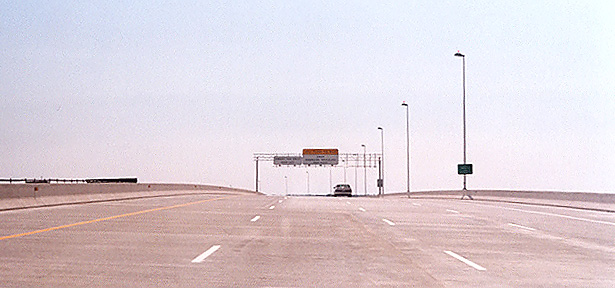
Above, traveling on the Route 895 eastbound James River Bridge. The crest up
ahead is the highest point of the main span over the river. The fourth lane on
the right is the acceleration lane from Ramp E to Route 895. Ramp E is the ramp
from I-95 northbound to Route 895 eastbound.
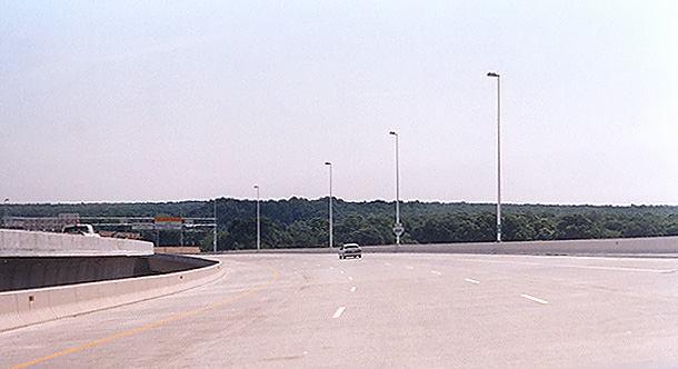
Above, traveling on the Route 895 eastbound James River Bridge, a few hundred
yards ahead of the previous photo. Now the eastbound roadway is on a downgrade
and both bridges are curving to the north, and the superelevation (banking) of
the roadways causes a considerable difference in elevation between the inside of
each bridge. A photo doesn't do this section justice - the banked curving
bridges are rather spectacular to view.
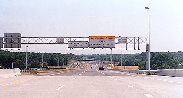
Above, traveling on the Route 895 eastbound James River Bridge, approaching the
east end of the bridge. The mainline toll plaza is up ahead.
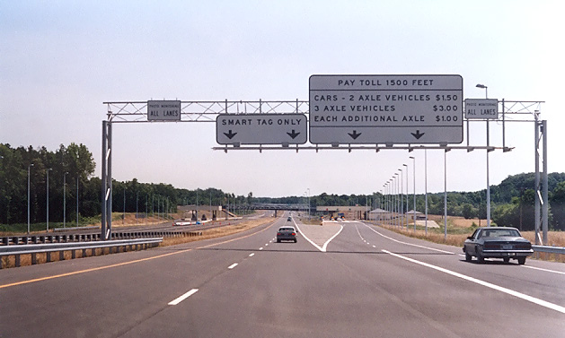
Above, traveling on the Route 895 eastbound roadway. The toll plazas are visible directly ahead. The highway mainline has three lanes in each direction on this section, and the outer lane each way branches from the mainline into the manual and automatic cash toll plazas. The center and inner lanes each way continue as full freeway-standard mainline roadways, and an overhead gantry has the electronic equipment for electronic toll collection, and these two lanes each way are to be used only by
Smart Tag customers. So the Smart Tag customers have a bonifide
freeway roadway where they can maintain the full posted speed limit on the
highway.